The Map
On orienteering maps, a diagonal striped symbol is used to represent an area that can be passed at two levels. Common examples are:
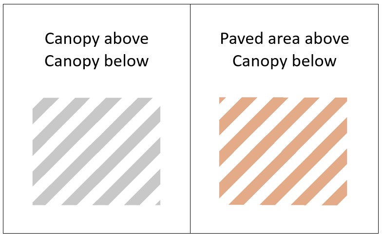
- The colour of the stripes reflects the feature on the upper level.
- In the International Orienteering Federation example below, it is a road (paved area) above and canopy or tunnel below.
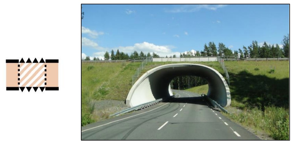
- If the area is accessible at two levels, the lower level must be a canopy or tunnel.
- The saw tooth pattern is used to indicate where the lower level can be accessed.
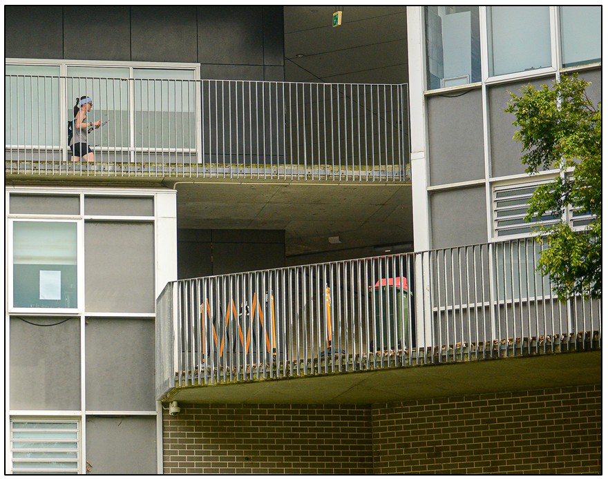
- The upper level will be elevated, therefore it’s essential to check the map for where it can be accessed, usually from stairs or at an end.
- The dotted line represents walls bounding the lower-level canopy.
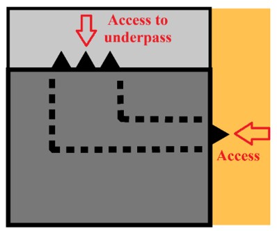
Most area symbols can be used to illustrate the top level of a two-level passable area.
For the top layer of a two-level passable area, the diagonal stripes are applied.

- Dotted lines are also used to define an underpass or tunnel beneath a building or the ground as illustrated below. The saw teeth indicate which direction the underpass can be accessed from.
For further information on Sprint Maps see the
International Orienteering Federation O-Map Wiki.
Control Descriptions
Control descriptions tell the runner which level the flag is located on.
The International Orienteering Federation sets out how control locations are explained to runners via control descriptions.

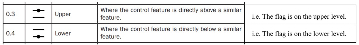
In the control description list Column C details “which of any similar feature” the orienteering flag is hanging on.
Column C is used to clarify if the control flag is on the upper or lower level.
The symbols used to differentiate between the two levels are:

For further information on Control Descriptions see the
International Orienteering Federation website.

MULTI-LEVEL SPRINT ORIENTEERING SYMBOLS
© Barbara Hill, November 2025